Important! Treatments that are removed from the official system of record are still present in FTEM. The team is currently working to better synchronize this process.
FTEM wildfire and treatment data are pulled from external systems of record and must be corrected in these records. The corrections are then pulled into FTEM.
Each of the sections below provides information to do this in the most efficient way possible. We address:
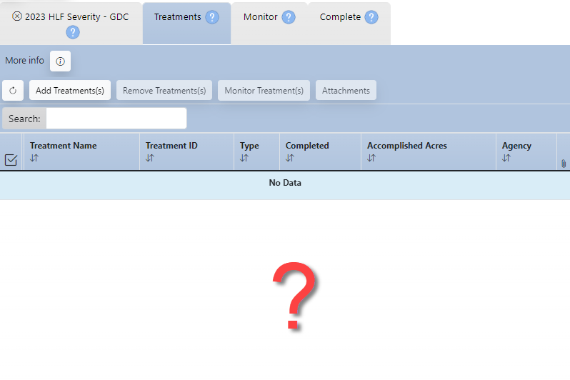
Missing or Incorrect Treatment Data
For missing or incorrect treatments:
-
Check the system of record. Treatments are pulled into FTEM from the systems of record.
-
Reach out to your local FACTS coordinator, IFPRS specialist, or NFPORS specialist depending upon your agency. Once treatments are corrected in the system of record, the correction will be pulled into FTEM.
Missing or Incorrect Wildfire Data
Wildfire data are pulled into the FTEMsystem nightly from:
The Integrated Reporting of Wildland Fire Information (IRWIN) data exchange service which provides point locations and fire-related data for fires across the United States.
The Wildland Fire Interagency Geospatial Services (WFIGS) - Interagency Fire Perimeters Dataset which provides the best available perimeters for all known wildland fires in the United States from 2021 and onward.
FTEM contains current active fires and fires that have been declared contained, controlled, or out.
Incorrect or missing fire information cannot be corrected directly in FTEM.
To correct a fire, contact your Situation Unit Leader (SITL) or Geographic Information Systems Specialist (GISS) to update the information in IRWIN or WFIGS. The correction will then be pulled into FTEM with 24 hours of the update.
Important! Some fire perimeters may not be approved by an incident or agency for public distribution (FeatureAccess <> Public, FeatureStatus <> Approved, IsVisible <>Yes). These perimeters are excluded from the WFIGS Interagency Perimeters dataset and subsequently FTEM.
For more detail see FTEM Wildfire Technical Documentation.
Wildfire Location Changes and Treatment Lists
If a correction is made to a wildfire location in the system of record after a fire is visible in FTEM, the treatment list will update based on the new location for fires in “check for interactions” or “monitoring in progress” status.
This update will retain any data you entered previously, and any treatment removal or additions you performed. Only wildfires in "Monitoring Completed" status will not have their treatment list updated; However, these fires can be amended by going to the Complete tab and selecting Amend.
Further details on how treatment lists change, based on fire status, are outlined below:
- Fires in "Check for Interactions" status (displayed with a
 or
or  ): The treatment list continues to update nightly based on fire information.
 - Fires in "Monitoring In Progress" status (displayed with a
 or
or  ): The treatment list continues to update nightly based on fire information. Treatment information previously entered will not change, this includes monitoring information, treatments added with the Add Treatments button, or removed with the Remove Treatments button.
 - Fires in "Monitoring Completed" status (displayed with a
 or
or  ): Treatments will not change. You must manually add any additional treatments to this list, or amend monitoring data.